
Enrollment
Land Surveying Training Program - AutoLevel, Total Station & DGPS (Offline)
Complete your enrollment below to secure your seat in this course.
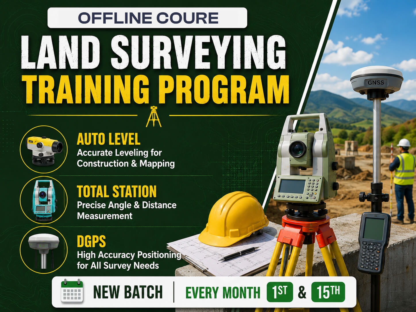
Land Surveying Training Program - AutoLevel, Total Station & DGPS
View
full course details & syllabus
The Land Surveying Training Program is a comprehensive 2.5-month offline practical training course designed for civil engineering students, diploma holders,…
The Land Surveying Training Program is a comprehensive 2.5-month offline practical training course designed for civil engineering students, diploma holders, fresh graduates, and working professionals who want to build expertise in modern land surveying techniques and equipment. The program provides hands-on training in Auto Level, Total Station, DGPS (Differential Global Positioning System), AutoCAD, and MS Excel, enabling participants to perform accurate site measurements, topographic surveys, contour surveys, route surveys, boundary surveys, and construction layout activities. The curriculum combines classroom learning with live field practice, helping students understand surveying principles, instrument handling, coordinate systems, data collection, and survey documentation while developing the practical skills required for infrastructure and construction projects.
The program emphasizes real-time project exposure and industry-oriented learning through on-site training, live instrument handling, assessment, and certification. Participants gain practical experience in contour mapping, traverse surveys, AutoCAD drawing preparation, Excel-based data analysis, DGPS data processing, RTK and static surveys, stake-out operations, and preparation of survey reports. By the end of the course, students are equipped to work confidently as Land Surveyors, Highway Surveyors, DGPS Surveyors, Layout Engineers, Site Survey Engineers, Total Station Operators, and GIS & Mapping professionals across infrastructure, highways, bridges, railways, metro, industrial, and building construction projects in India and abroad. Read more
The program emphasizes real-time project exposure and industry-oriented learning through on-site training, live instrument handling, assessment, and certification. Participants gain practical experience in contour mapping, traverse surveys, AutoCAD drawing preparation, Excel-based data analysis, DGPS data processing, RTK and static surveys, stake-out operations, and preparation of survey reports. By the end of the course, students are equipped to work confidently as Land Surveyors, Highway Surveyors, DGPS Surveyors, Layout Engineers, Site Survey Engineers, Total Station Operators, and GIS & Mapping professionals across infrastructure, highways, bridges, railways, metro, industrial, and building construction projects in India and abroad. Read more
Total Course Fee:
₹25,500.00