Land Surveying Training Program - AutoLevel, Total Station & DGPS
Course Overview
Land Surveying Training Program - AutoLevel, Total Station & DGPS
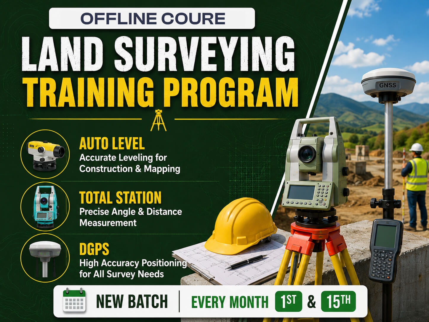
The Land Surveying Training Program is a comprehensive 2.5-month offline practical training course designed for civil engineering students, diploma holders, fresh graduates, and working professionals who want to build expertise in modern land surveying techniques and equipment. The program provides hands-on training in Auto Level, Total Station, DGPS (Differential Global Positioning System), AutoCAD, and MS Excel, enabling participants to perform accurate site measurements, topographic surveys, contour surveys, route surveys, boundary surveys, and construction layout activities. The curriculum combines classroom learning with live field practice, helping students understand surveying principles, instrument handling, coordinate systems, data collection, and survey documentation while developing the practical skills required for infrastructure and construction projects.
The program emphasizes real-time project exposure and industry-oriented learning through on-site training, live instrument handling, assessment, and certification. Participants gain practical experience in contour mapping, traverse surveys, AutoCAD drawing preparation, Excel-based data analysis, DGPS data processing, RTK and static surveys, stake-out operations, and preparation of survey reports. By the end of the course, students are equipped to work confidently as Land Surveyors, Highway Surveyors, DGPS Surveyors, Layout Engineers, Site Survey Engineers, Total Station Operators, and GIS & Mapping professionals across infrastructure, highways, bridges, railways, metro, industrial, and building construction projects in India and abroad.
Course Syllabus
-
1
Introduction of auto level instrument
-
2
Main parts of auto level
-
3
Different types of levelling staff
-
4
Staff reading in m, cm, mm
-
5
Centring and levelling procedures
- 1 Introduction of auto level instrument
- 2 Main parts of auto level
- 3 Different types of levelling staff
- 4 Staff reading in m, cm, mm
- 5 Centring and levelling procedures
-
6
Mean Sea Level (MSL) and Reduced Level (RL)
-
7
Benchmark types and calculation methods
-
8
HI method and Rise and fall method
-
9
Error checking of auto level instrument
-
10
Distance calculation from auto level
-
11
Levelling principles and types
-
12
Practical levelling on site
- 6 Mean Sea Level (MSL) and Reduced Level (RL)
- 7 Benchmark types and calculation methods
- 8 HI method and Rise and fall method
- 9 Error checking of auto level instrument
- 10 Distance calculation from auto level
- 11 Levelling principles and types
- 12 Practical levelling on site
-
13
Introduction of total station instrument
-
14
Main parts of total station
-
15
Function of total station
-
16
Centring and levelling of total station
-
17
Find horizontal, vertical and sloping distance
-
18
Horizontal and vertical angle measurement
-
19
REM - Remote elevation measurement
-
20
MLM - Missing line measurement
- 13 Introduction of total station instrument
- 14 Main parts of total station
- 15 Function of total station
- 16 Centring and levelling of total station
- 17 Find horizontal, vertical and sloping distance
- 18 Horizontal and vertical angle measurement
- 19 REM - Remote elevation measurement
- 20 MLM - Missing line measurement
-
21
PTL - Point to line
-
22
Area measurement
-
23
Error checking methods
-
24
Coordinate systems and formats
-
25
Coordinate calculation formulas
-
26
Topography survey by total station
-
27
Cadastral/boundary survey
-
28
Profile and cross section survey
- 21 PTL - Point to line
- 22 Area measurement
- 23 Error checking methods
- 24 Coordinate systems and formats
- 25 Coordinate calculation formulas
- 26 Topography survey by total station
- 27 Cadastral/boundary survey
- 28 Profile and cross section survey
-
29
Contour survey by total station
-
30
Traverse survey by total station
-
31
Data transfer and file conversion
-
32
AutoCAD map preparation
-
33
Stake out of points
-
34
Distance offset and baseline definition
-
35
Arc marking and center line marking
- 29 Contour survey by total station
- 30 Traverse survey by total station
- 31 Data transfer and file conversion
- 32 AutoCAD map preparation
- 33 Stake out of points
- 34 Distance offset and baseline definition
- 35 Arc marking and center line marking
View Complete Syllabus
The first 5 modules are available above. Submit your details to unlock the remaining 3 modules.
-
36
Introduction of DGPS instrument
-
37
Main parts of DGPS and accessories
-
38
Difference between GPS and DGPS
-
39
DGPS working step by step
-
40
Types of GNSS
-
41
Instrument handling details
-
42
Surveying coordinate system
-
43
UTM and UTM Zone of India
-
44
Different types of DGPS survey
- 36 Introduction of DGPS instrument
- 37 Main parts of DGPS and accessories
- 38 Difference between GPS and DGPS
- 39 DGPS working step by step
- 40 Types of GNSS
- 41 Instrument handling details
- 42 Surveying coordinate system
- 43 UTM and UTM Zone of India
- 44 Different types of DGPS survey
-
45
Static survey introduction and procedures
-
46
Control point establishment
-
47
Field procedure for base and rover setup
-
48
Multi-day static survey operations
-
49
RTK survey introduction and applications
-
50
RTK setup configuration
-
51
RTK field work applications
- 45 Static survey introduction and procedures
- 46 Control point establishment
- 47 Field procedure for base and rover setup
- 48 Multi-day static survey operations
- 49 RTK survey introduction and applications
- 50 RTK setup configuration
- 51 RTK field work applications
-
52
Accuracy checking and verification
-
53
DGPS software introduction
-
54
Data processing procedures
-
55
Survey data import and export
-
56
Data file conversion
-
57
Common DGPS error and problem solving
-
58
Practical field exercises
-
59
AutoCAD and MS Excel for survey data
- 52 Accuracy checking and verification
- 53 DGPS software introduction
- 54 Data processing procedures
- 55 Survey data import and export
- 56 Data file conversion
- 57 Common DGPS error and problem solving
- 58 Practical field exercises
- 59 AutoCAD and MS Excel for survey data
Course Brochure
Meet Your Instructor
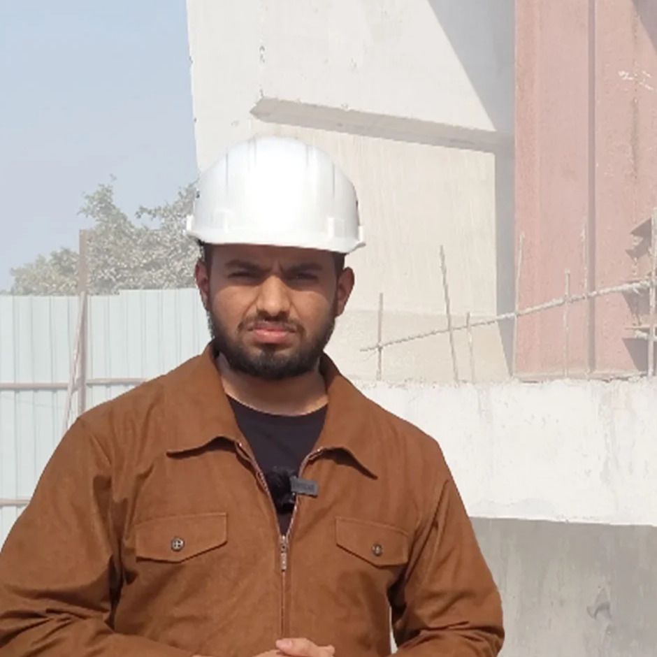
Our instructors are industry professionals dedicated to providing high-quality training and practical insights to help you excel in your career.
5.0
Rating
Student Feedback
No reviews yet for this course. Be the first to share your experience!
Write a Review
Your email address will not be published. Required fields are marked *
Course Details:
- Cost: ₹25,500.00
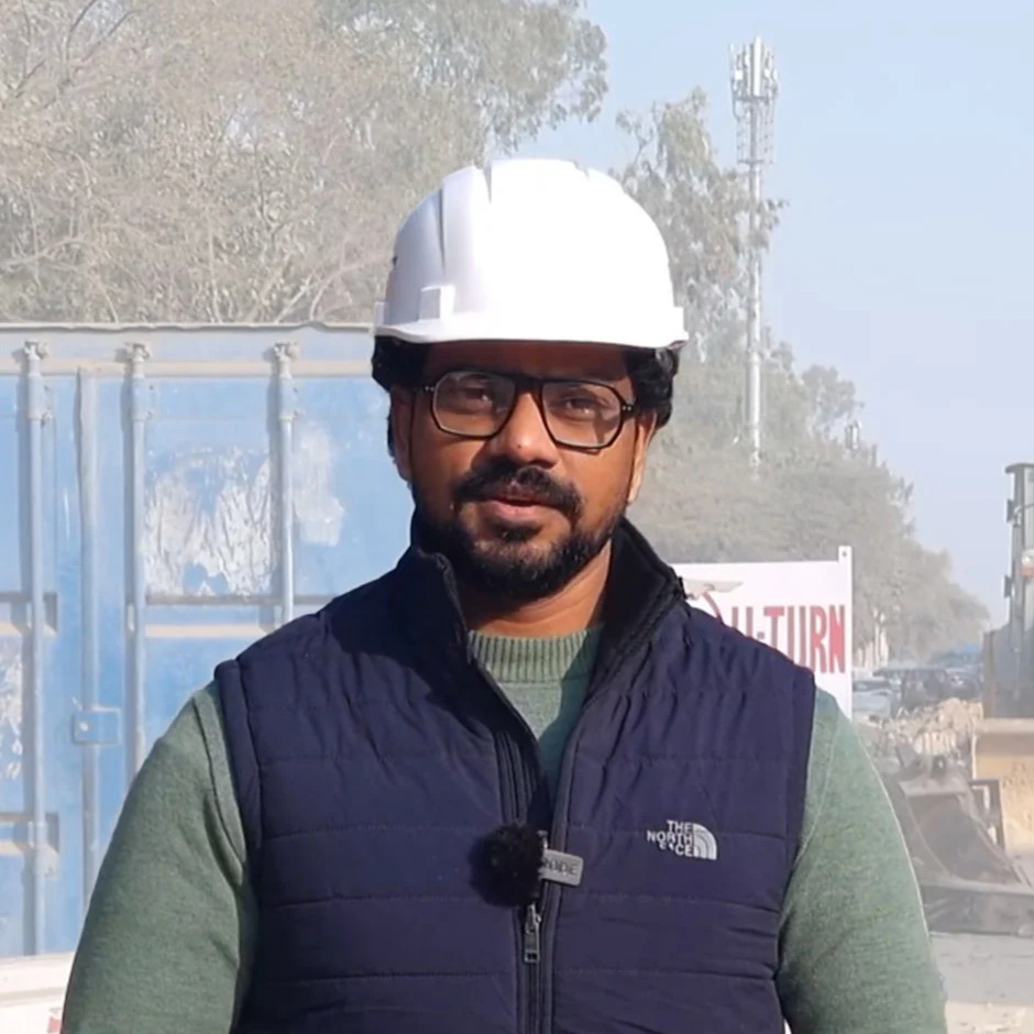
- Instructor: Sandeep Singh
- Duration: 2.5 Months
- Language: English
- Certificate: Included
Upcoming Batches:
- Afternoon Batch 07 Sep, 2026 (01:00 PM - 03:00 PM)
- Morning Batch 20 Aug, 2026 (09:00 AM - 12:00 PM)
Share Details:
Related Courses
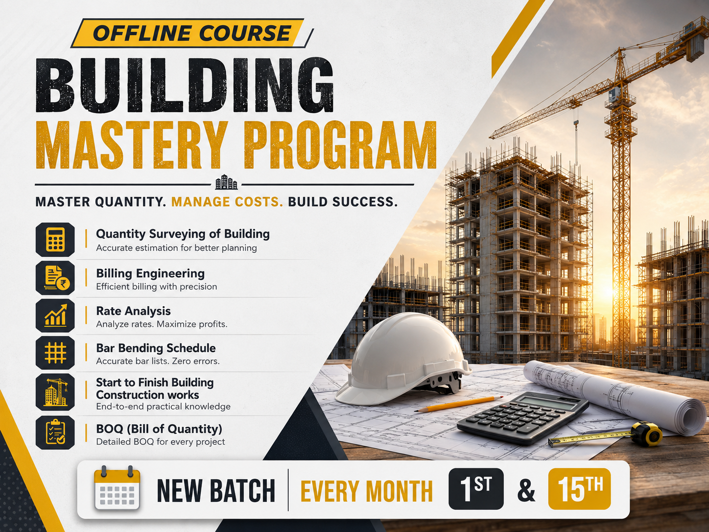
Building Mastery Program
This is a comprehensive 3-month offline, practical training program by Reinforce QST Private Limited (Reinforce Civil Engineers…
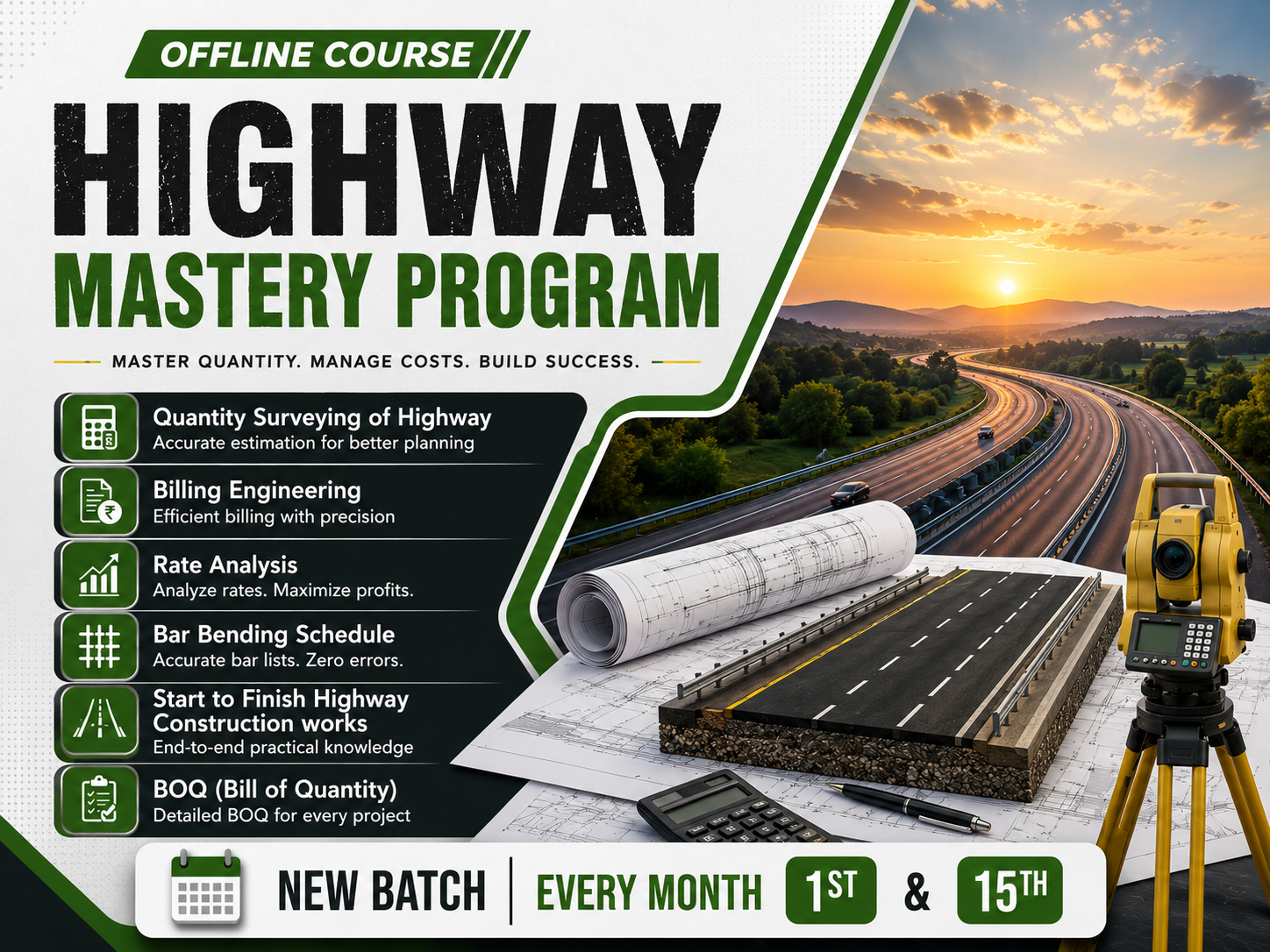
Highway Mastery Program
he Highway Mastery Program is a comprehensive 3-month offline practical training program designed to equip civil engineering…
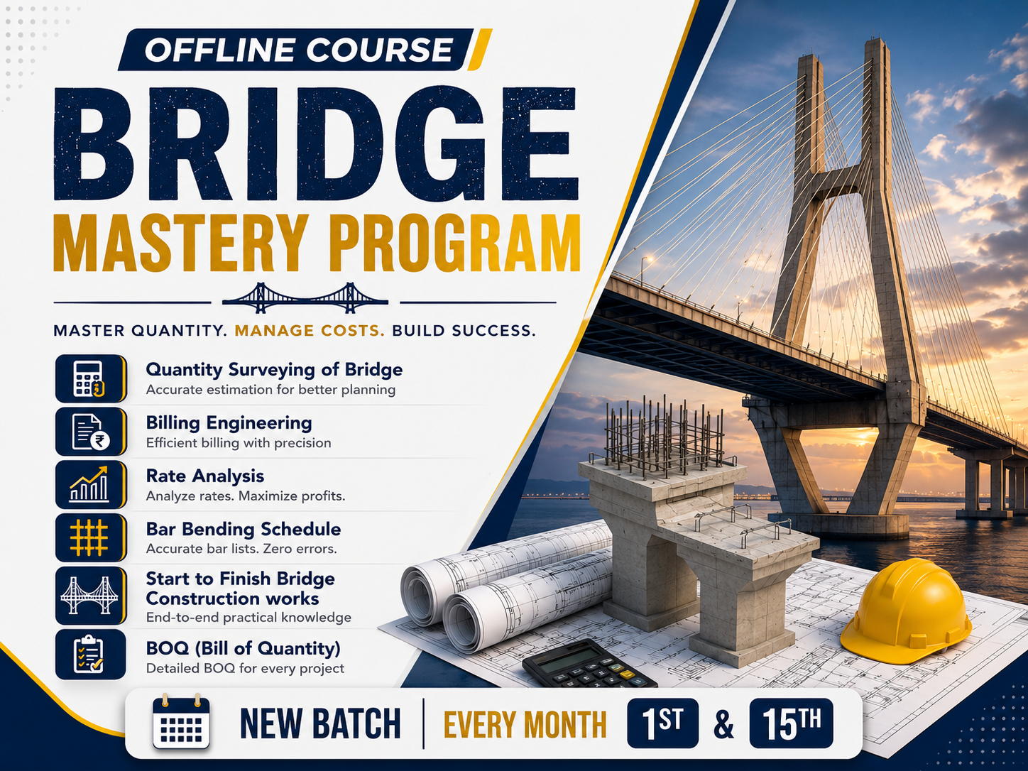
Bridge Mastery Program
This is a comprehensive 3-month offline, practical training program by Reinforce QST Private Limited (Reinforce Civil Engineers…
Forgot Password?
Enter your email and we'll send you a reset link.